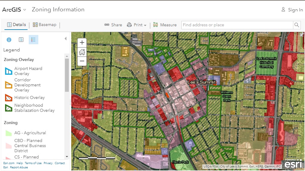
The City provides a variety of options for maps. Online Interactive Map Service offers highest level of flexibility for mapping and searching needs for map data. Mapping data in their native formats are available for professionals to use in enterprise mapping software. Standard maps provide a convenient way to obtain maps representing themed snap shots and these maps are available for online viewing and download for printing.
Development Mapping Content (look for Zoning maps)